Enjoy these aerial photos from some of my favorite flying trips.
These are just some of the places a pilot license can take you!
Yosemite
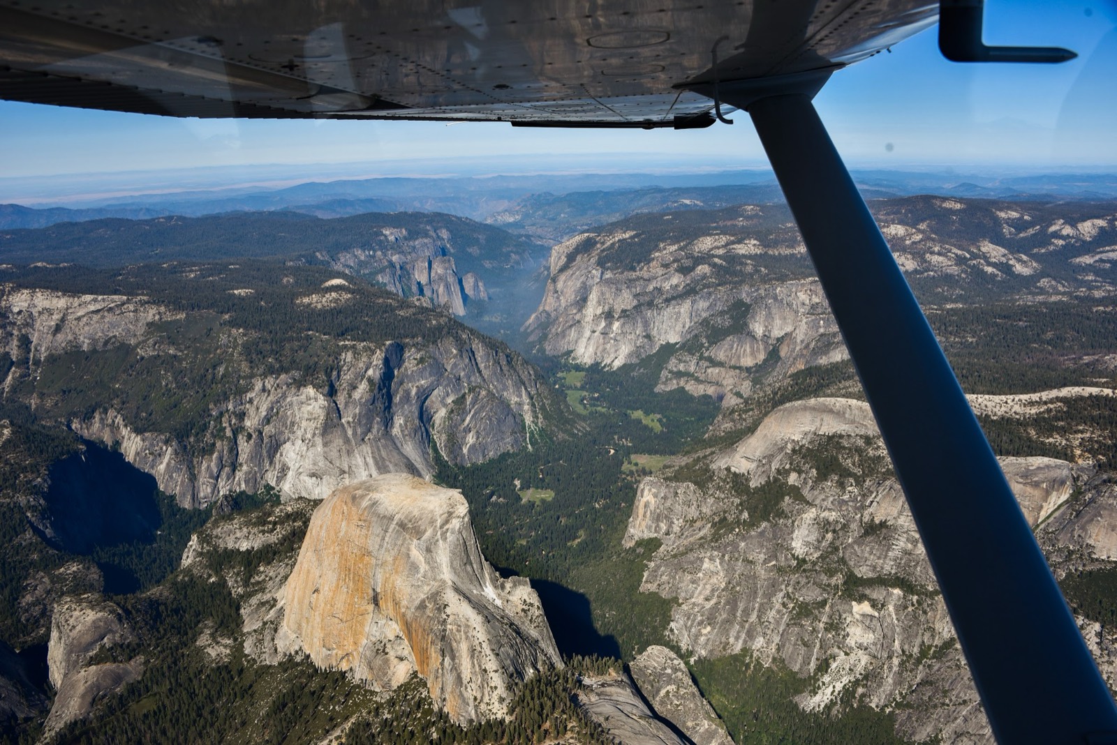
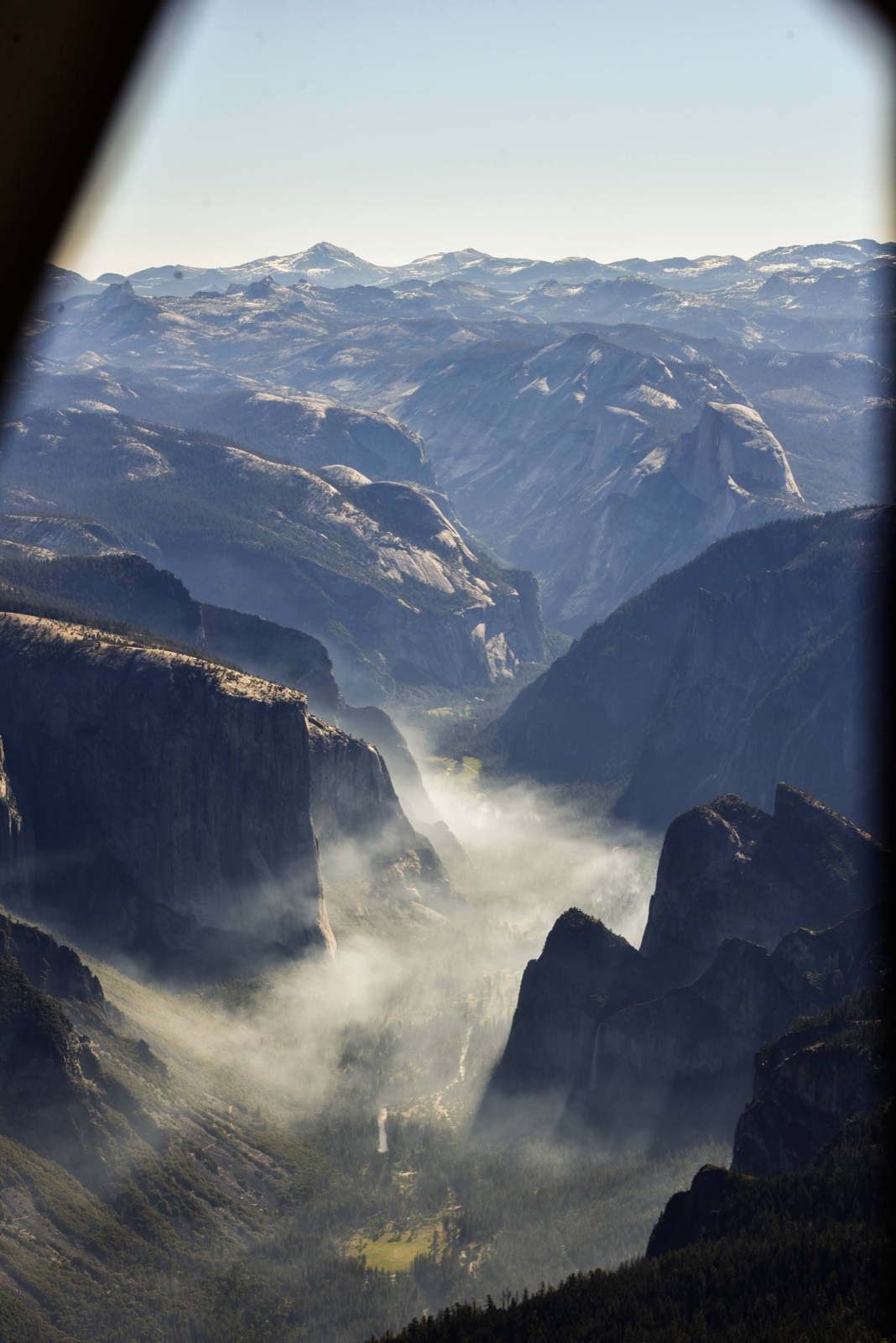
FAA rules allow you to fly as low as 2000' above most national parks. I often fly over Yosemite on the way east, and sometimes take a few laps around Half Dome for fun. I love the second photo, with the morning mist rising from the valley.
Monument Valley, AZ
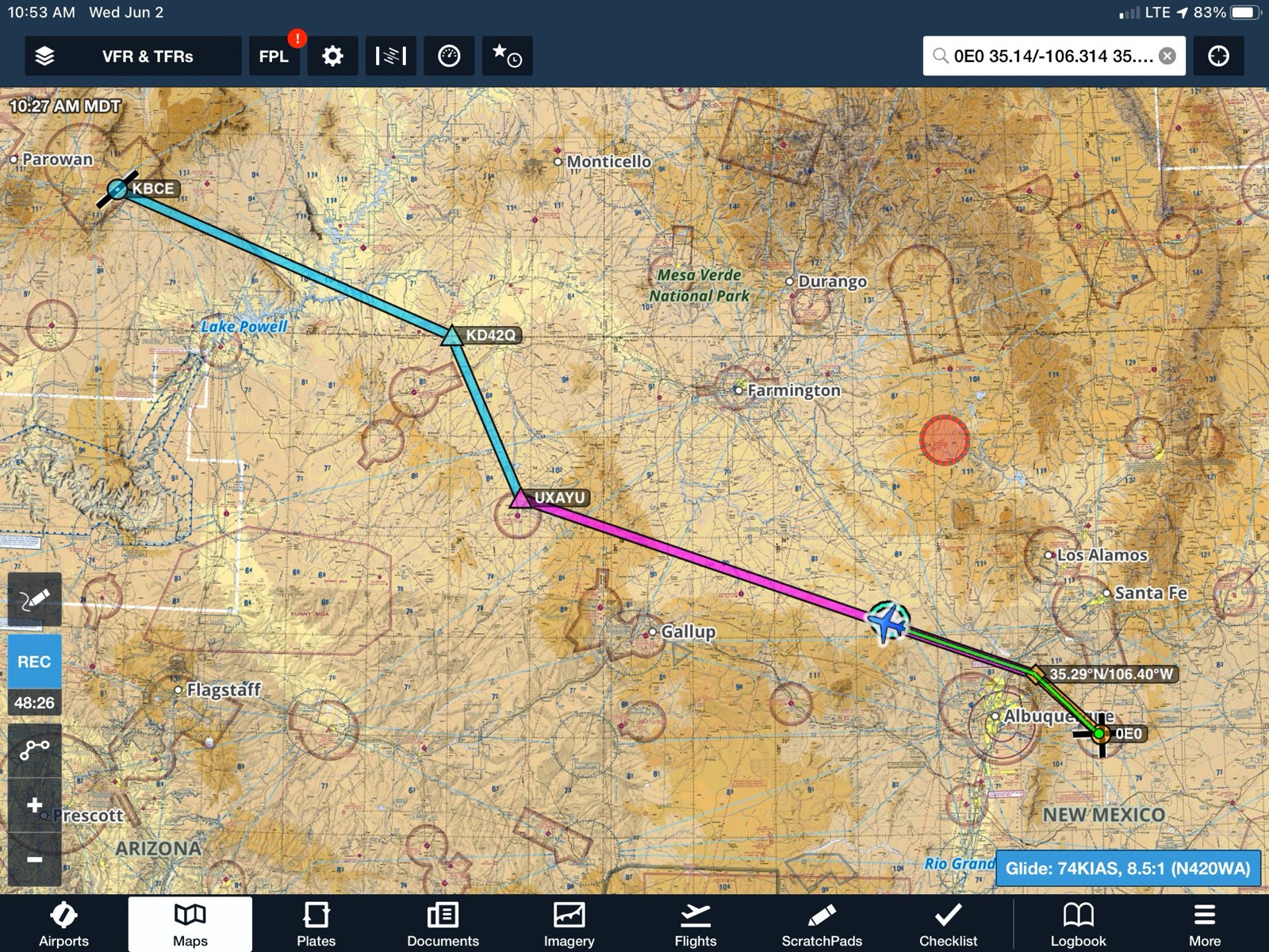
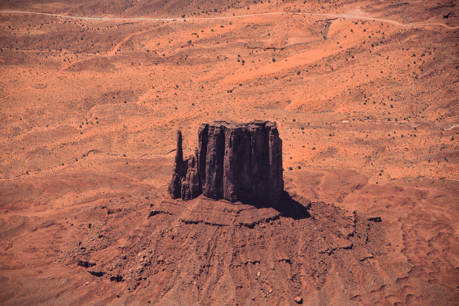
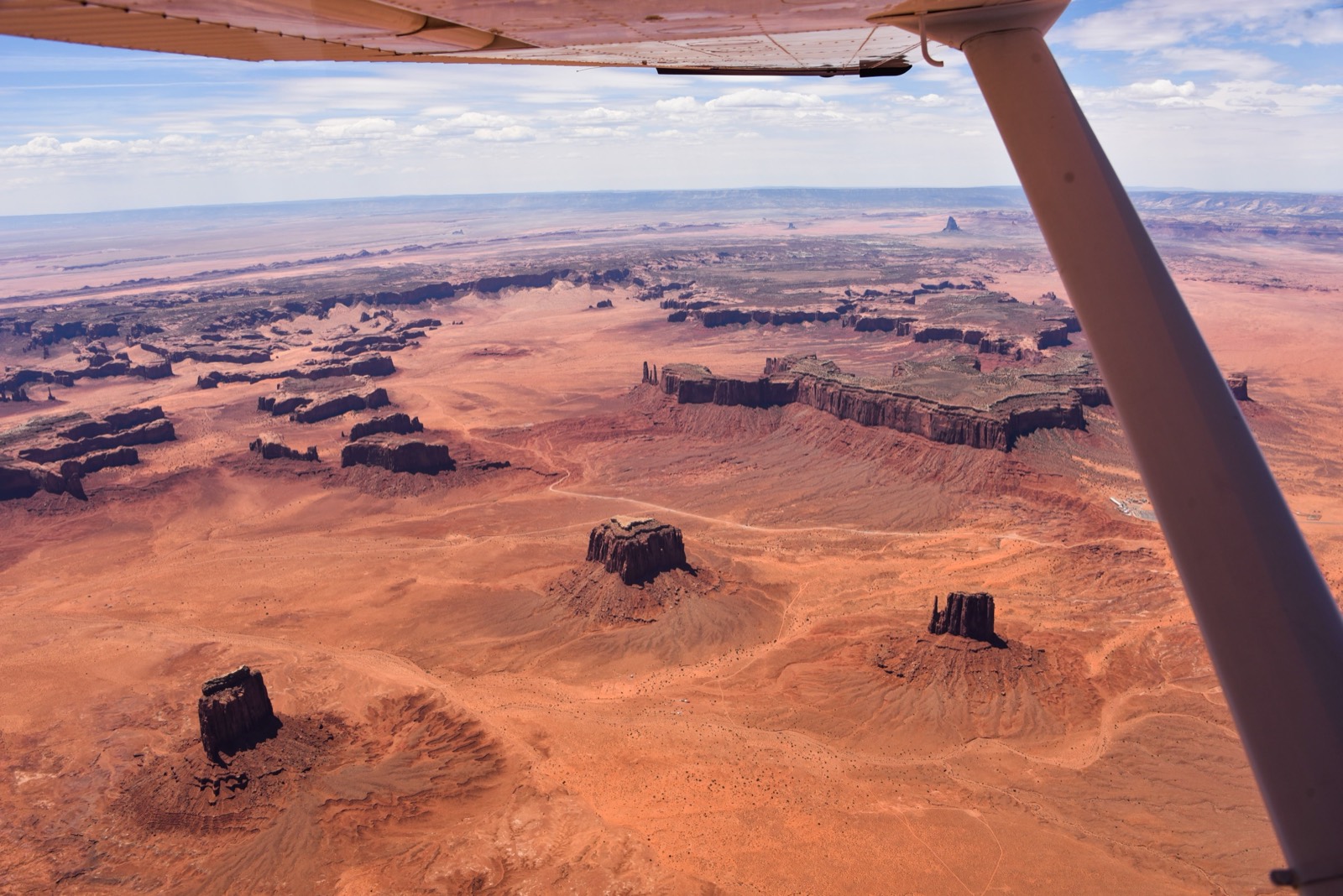
I flew over Monument Valley on the way from Albuquerque to Bryce Canyon. I didn't have time to stop, but there's a resort with a private airstrip there, so pilots can arrange to fly in for a visit.
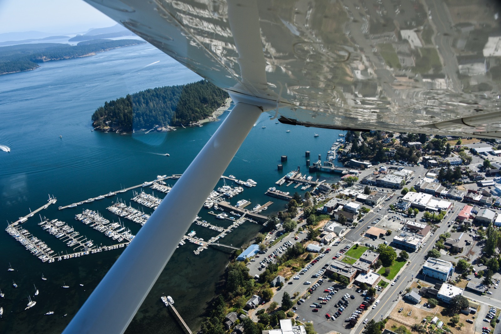
Friday Harbor, WA
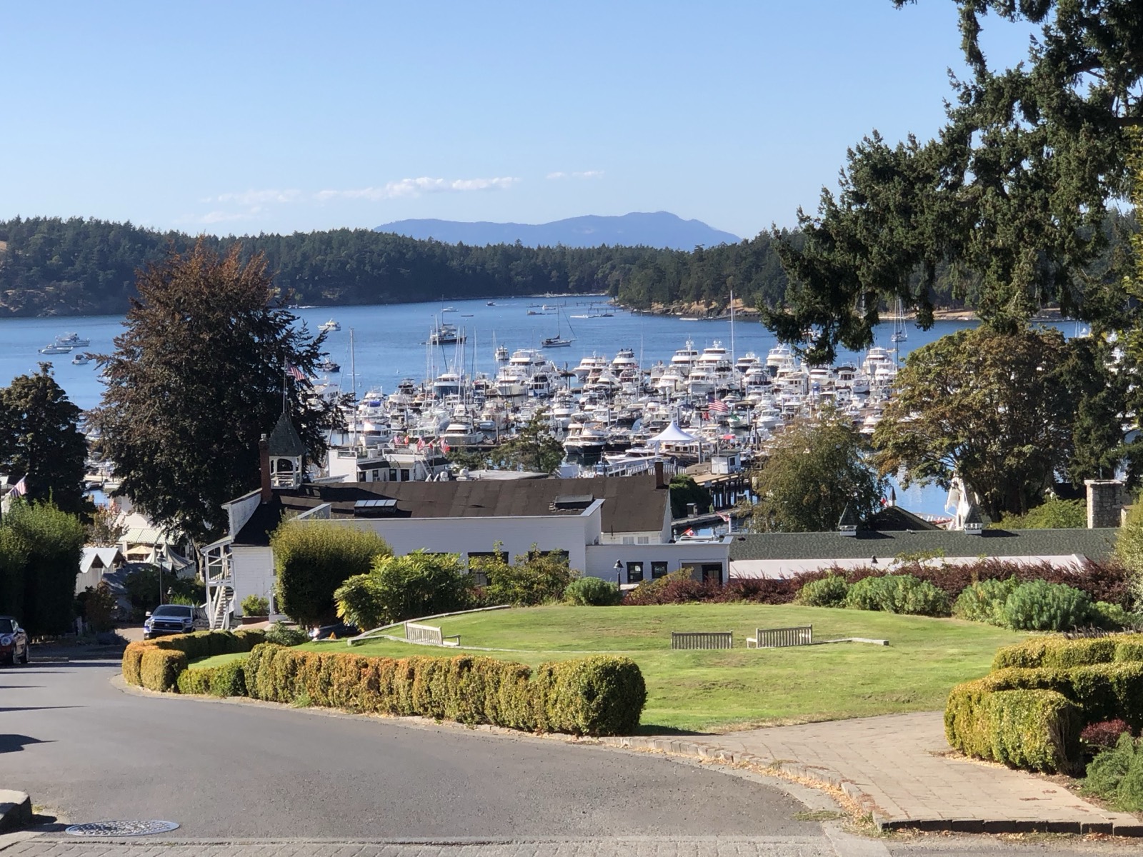
Several of the San Juan Islands have airstrips, and the one in Friday Harbor is a short walk from several hotels. We didn't even need to rent a car for this trip.
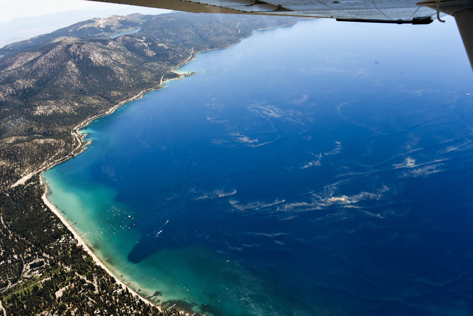
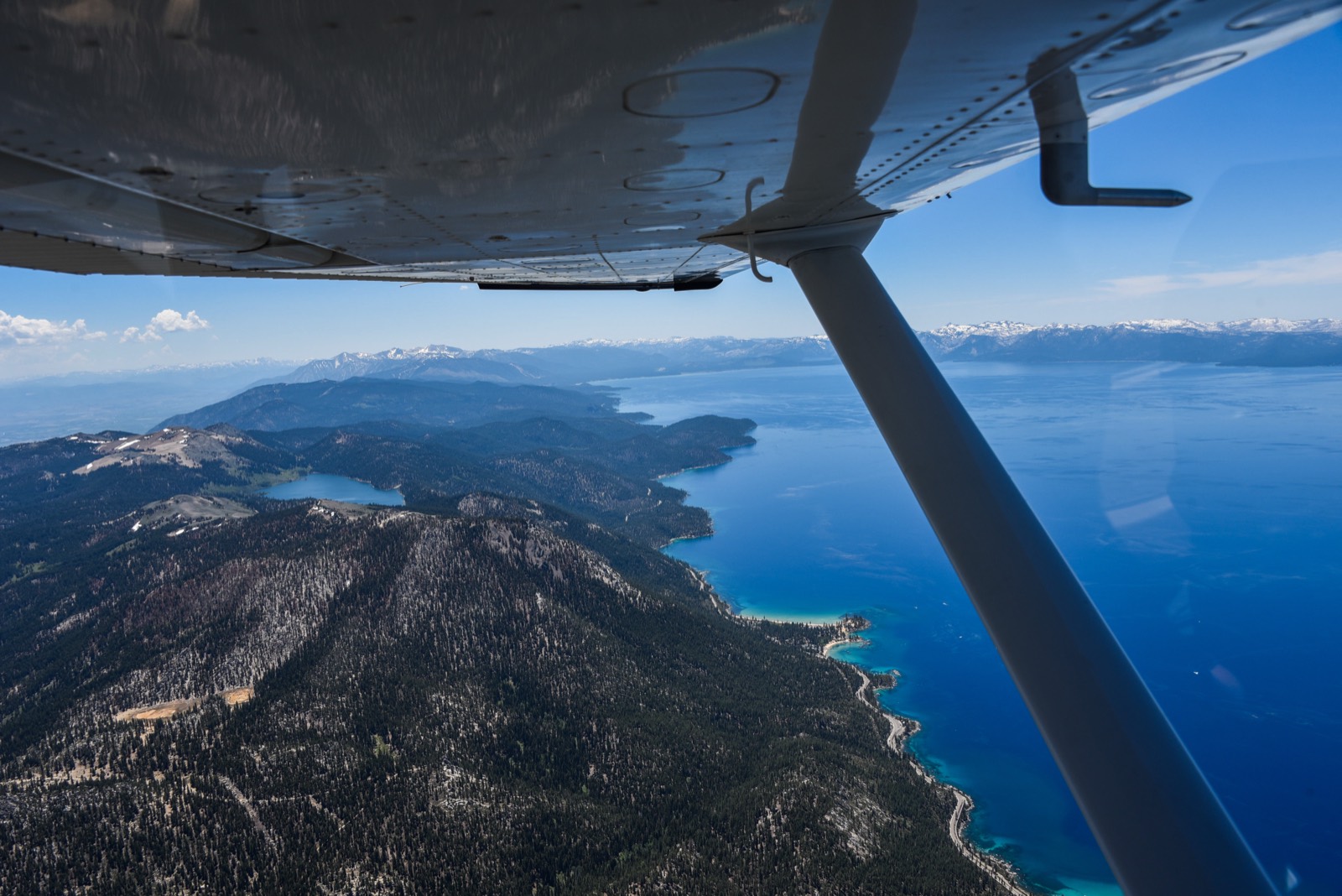
Lake Tahoe
Lake Tahoe is even more blue from the air, and is an absolutely beautiful place to fly.
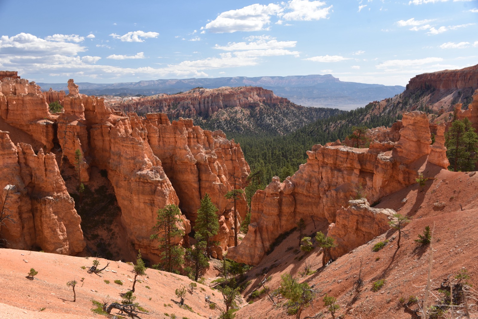
Bryce Canyon, UT
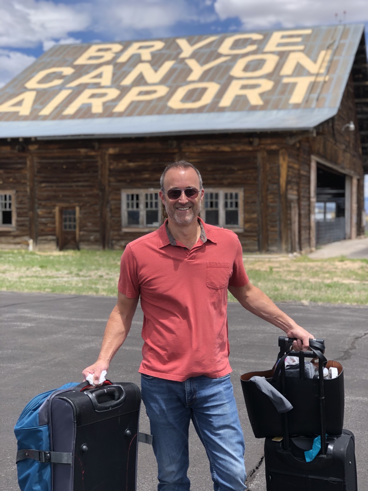
Bryce Canyon is a four hour drive from Salt Lake City Airport. But there's a small airstrip just 5 minutes from the park, making it easy to drop in with a small plane.
Mount Shasta
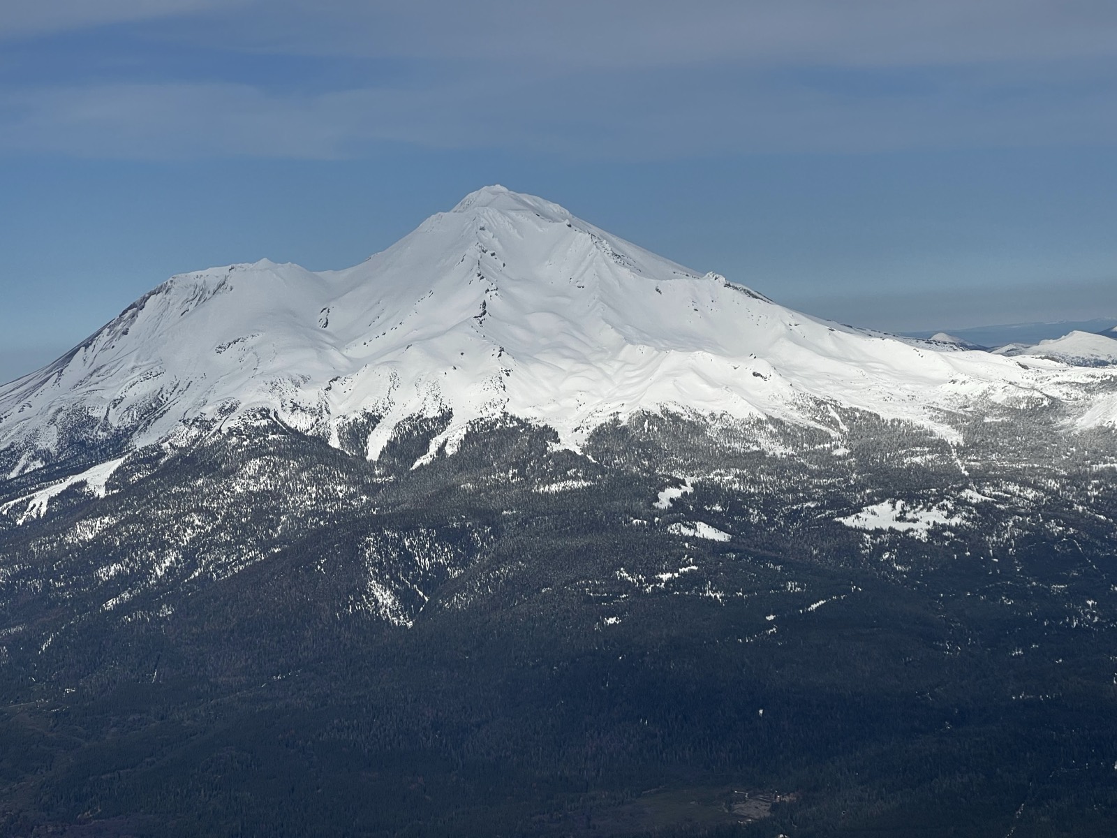
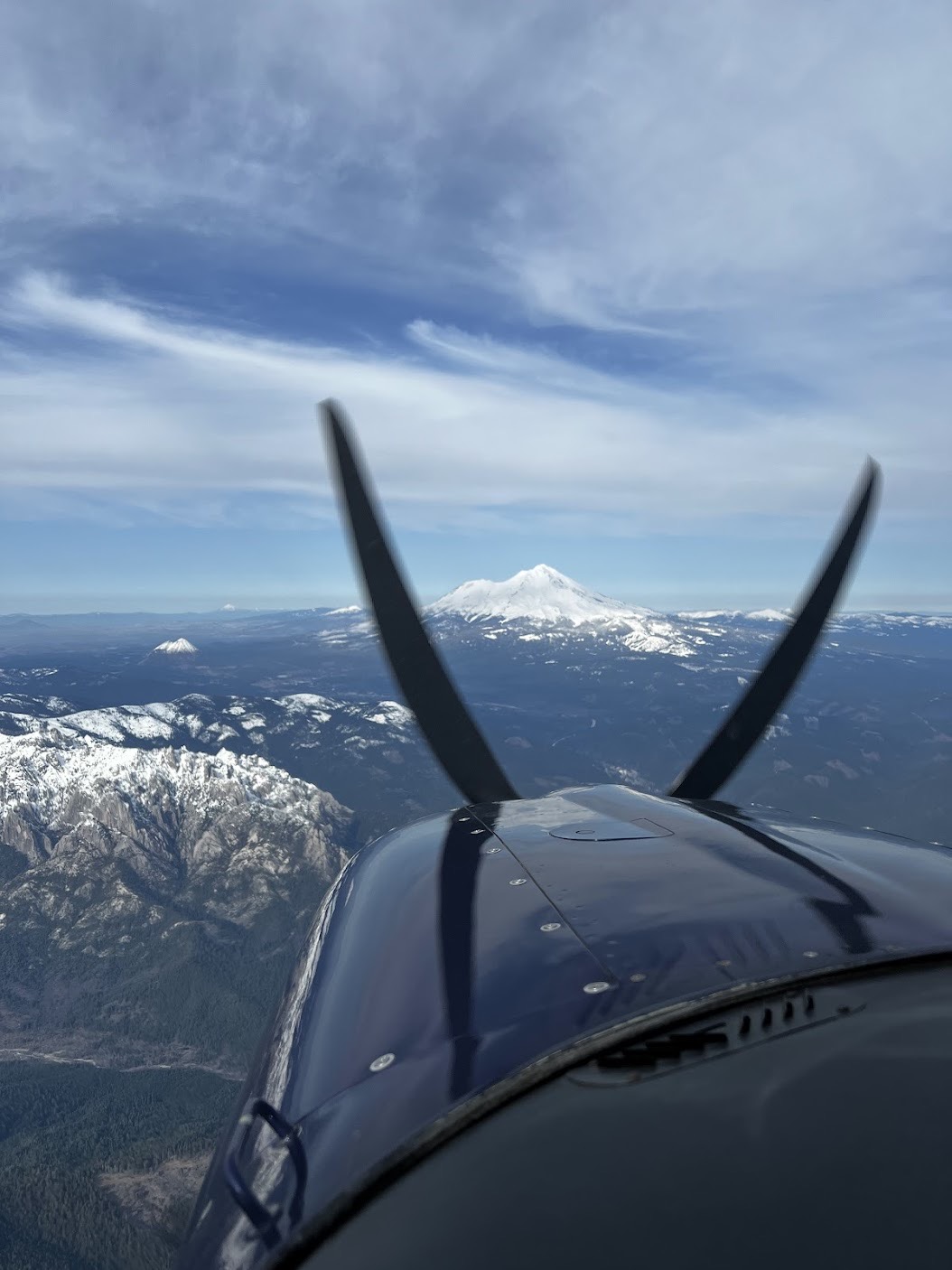
I've flown to Oregon many times, and Mount Shasta is a favorite sight along the way. Mountains can feel even bigger when you're flying alongside them.
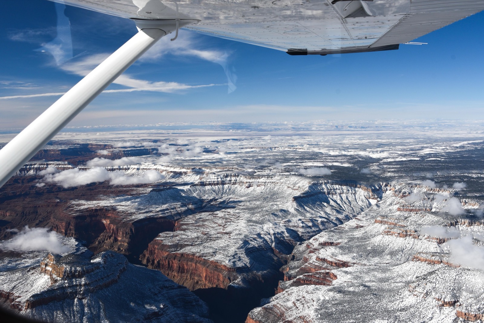
Grand Canyon National Park
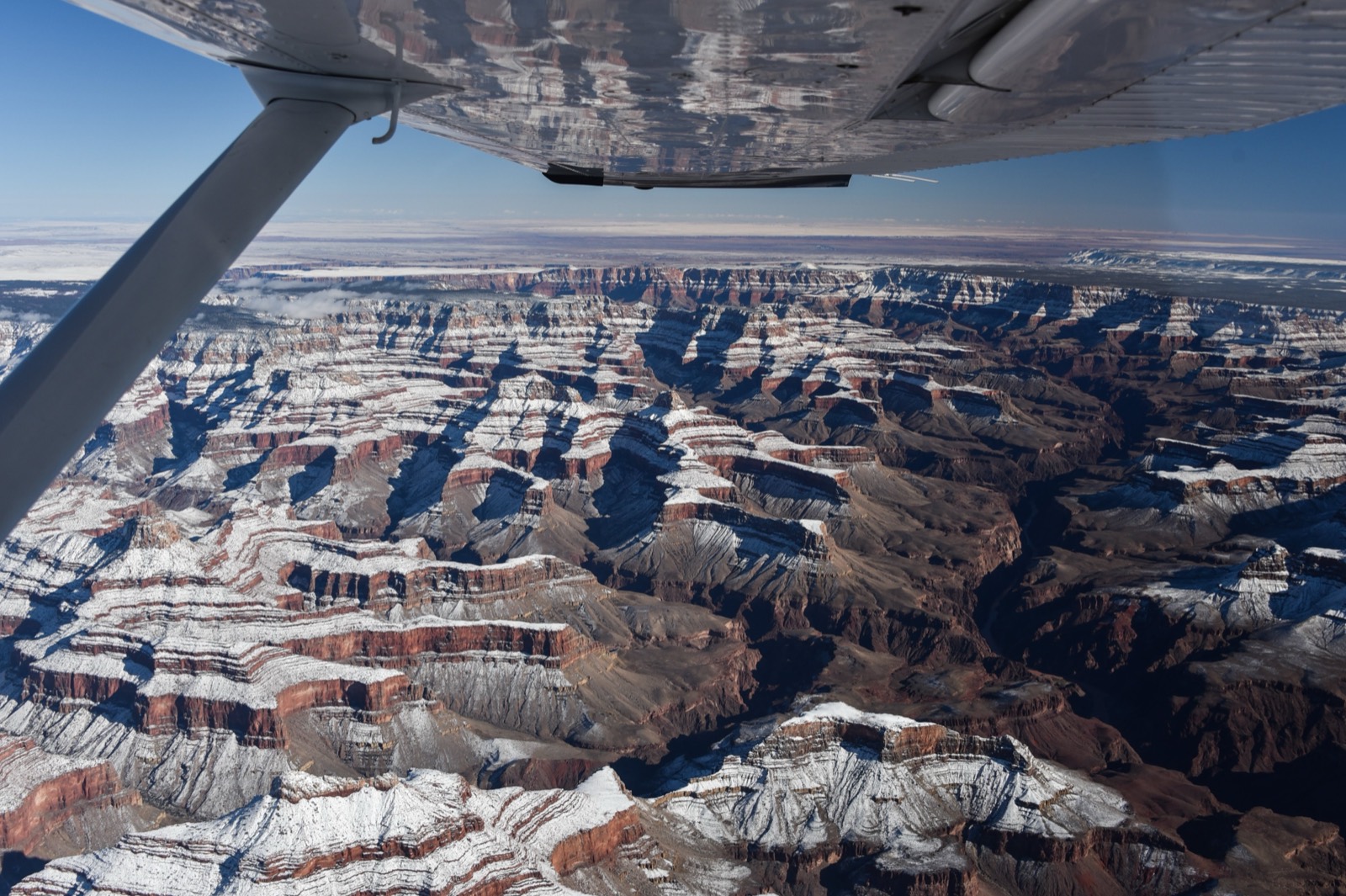
I happened to catch the Grand Canyon after a light dusting of snow, which really accentuated all the slopes and angles.
Salt Flats
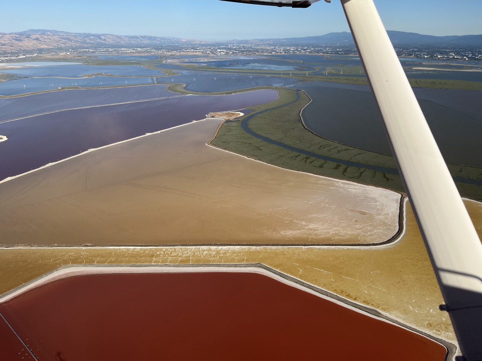
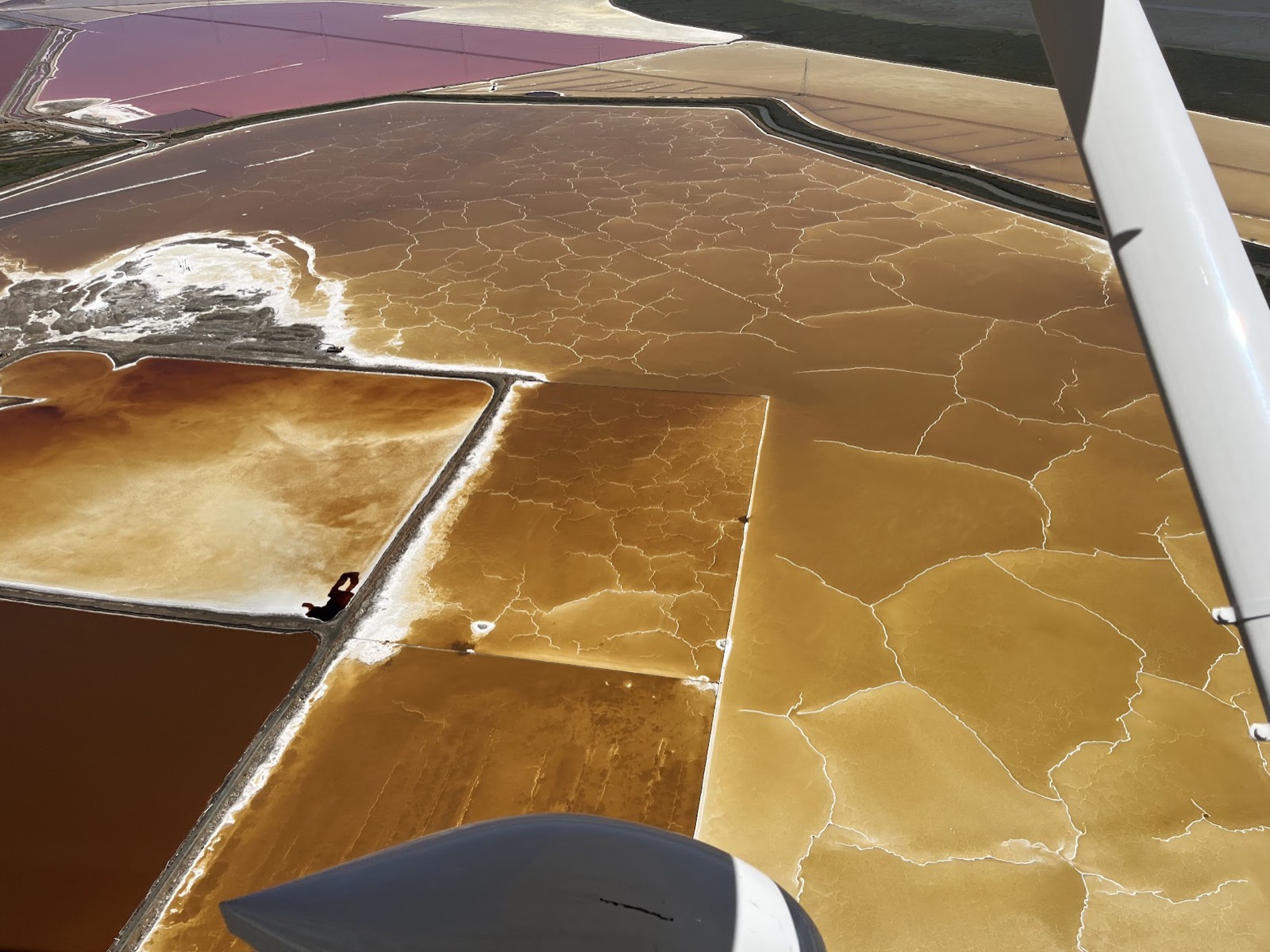
Leaving Palo Alto for many destinations, you'll fly over Cargill Salt in Newark. The salt flats can be incredibly beautiful, changing colors and textures as the evaporation process happens.
Zion National Park
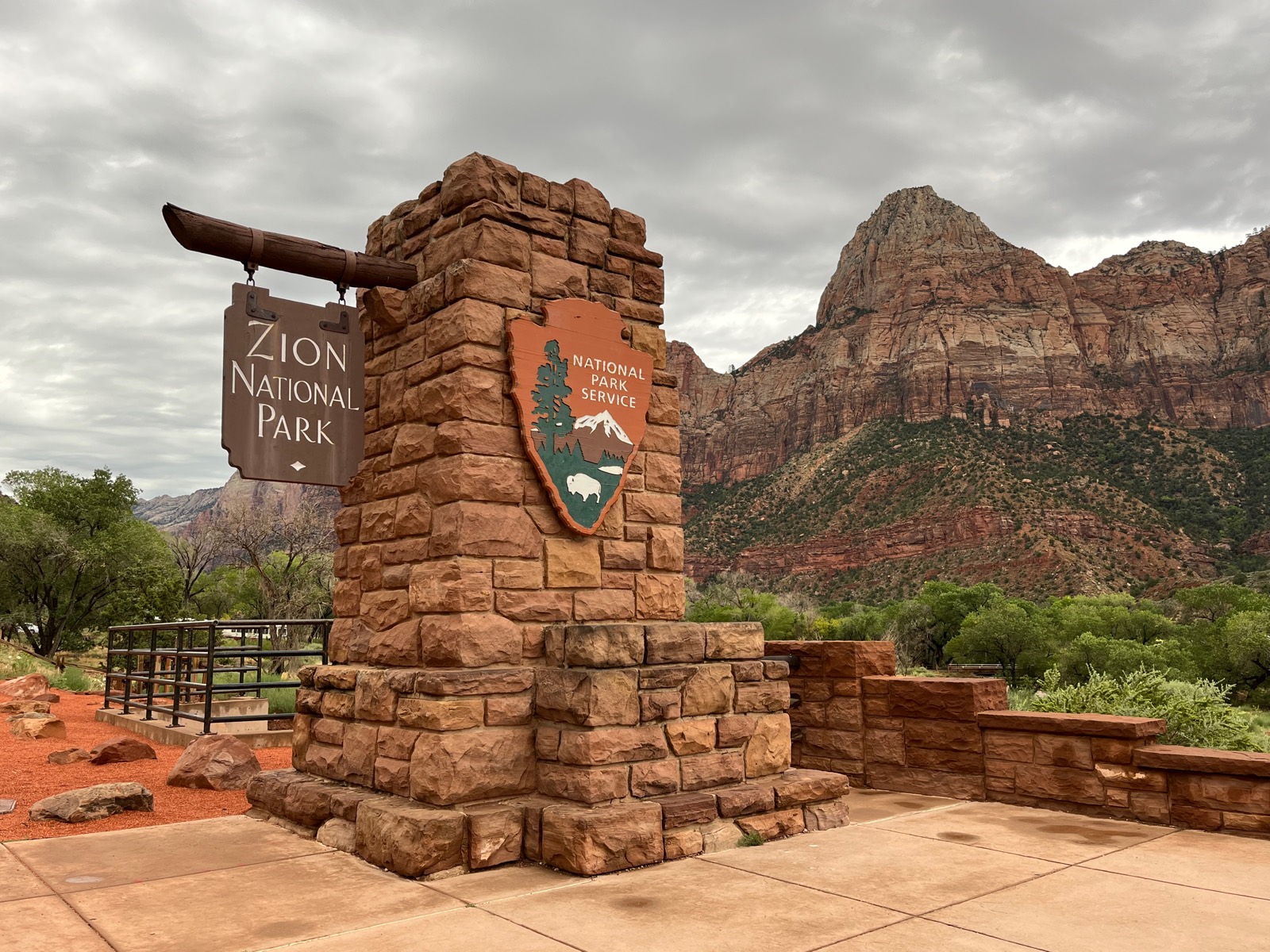
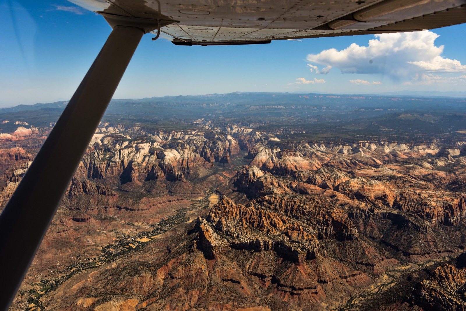
The first time I saw Zion NP was from the air, in 2021. But in 2023 we flew to Saint George, UT, which is less than an hour from the park, and spent 4 days exploring.
San Francisco
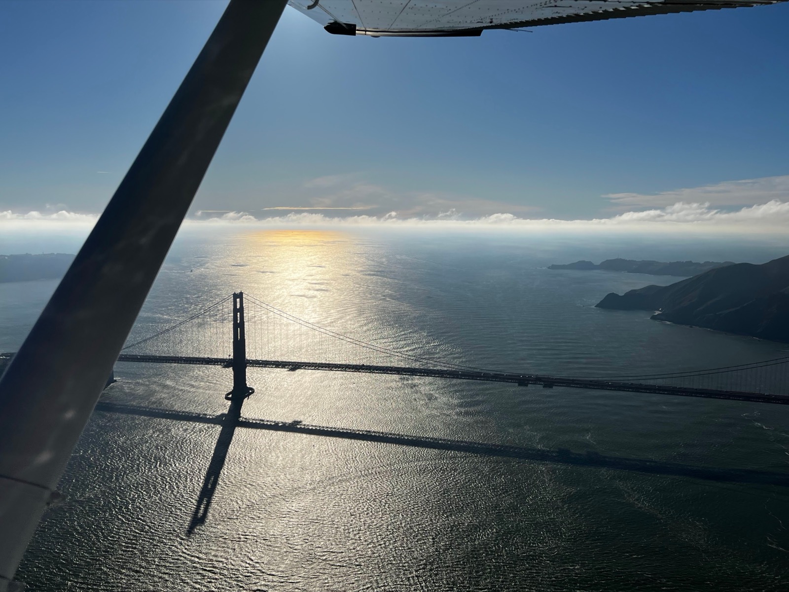
Once you have your license, you can take a low-altitude tour of San Francisco and the Golden Gate Bridge.
New York City
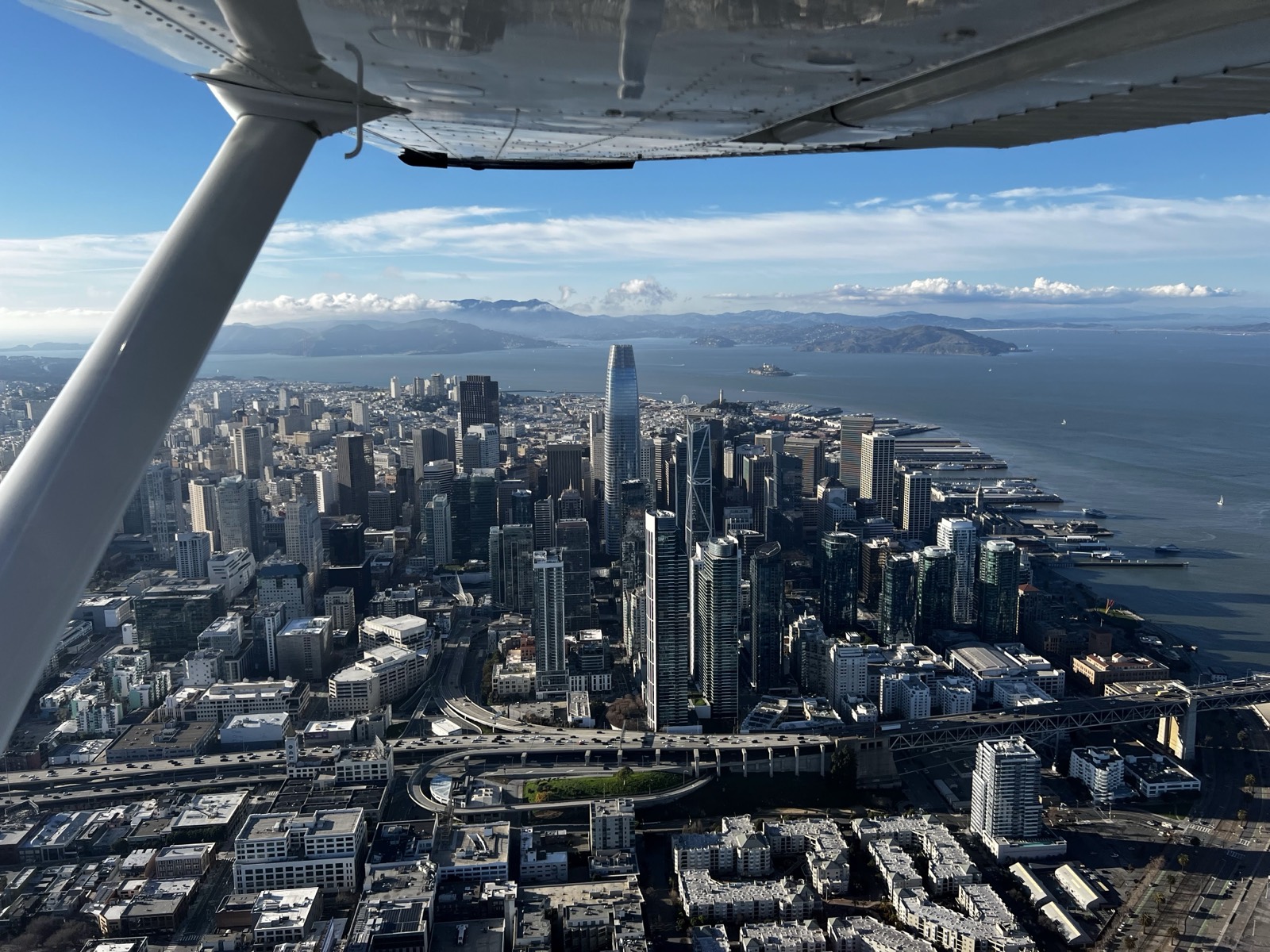
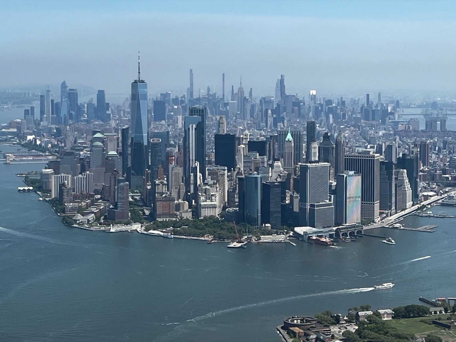
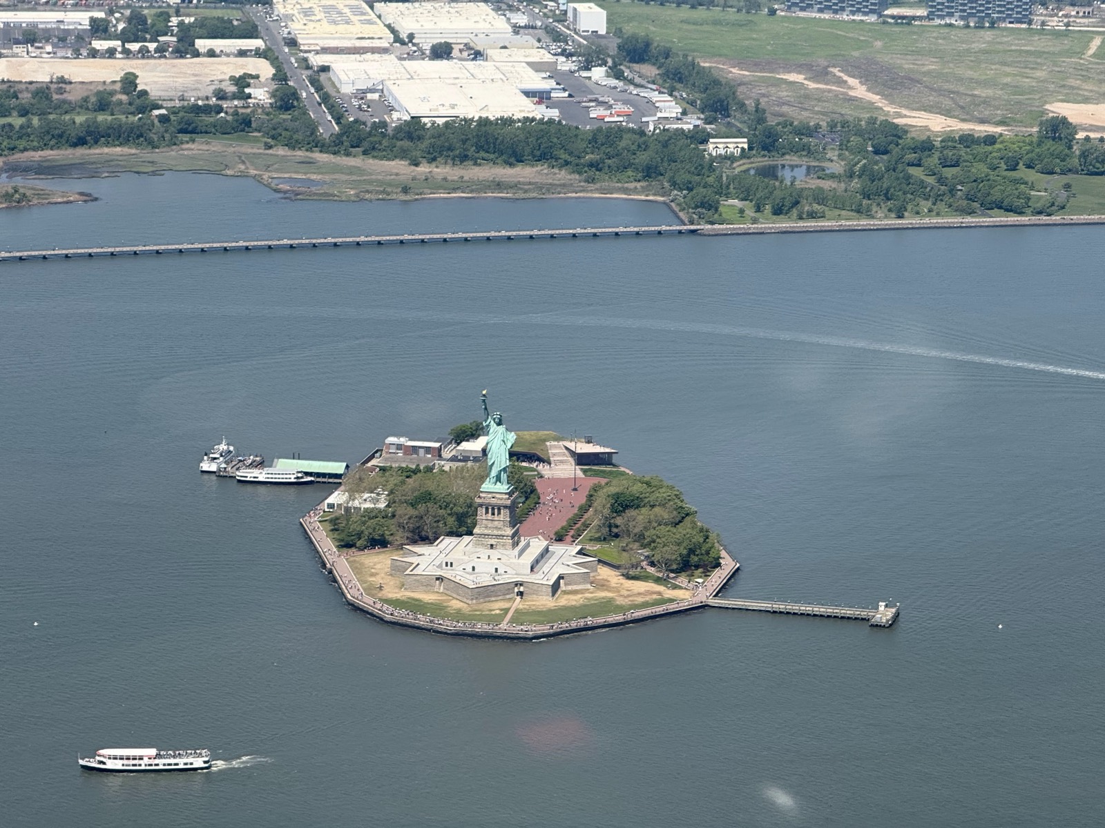
Yes, you can really fly a small plane from Palo Alto to New York City and sightsee up the Hudson River, eye-level with the skyscrapers. This was part of a larger round-the-US trip I took in May of 2026.
The Eastern Sierras
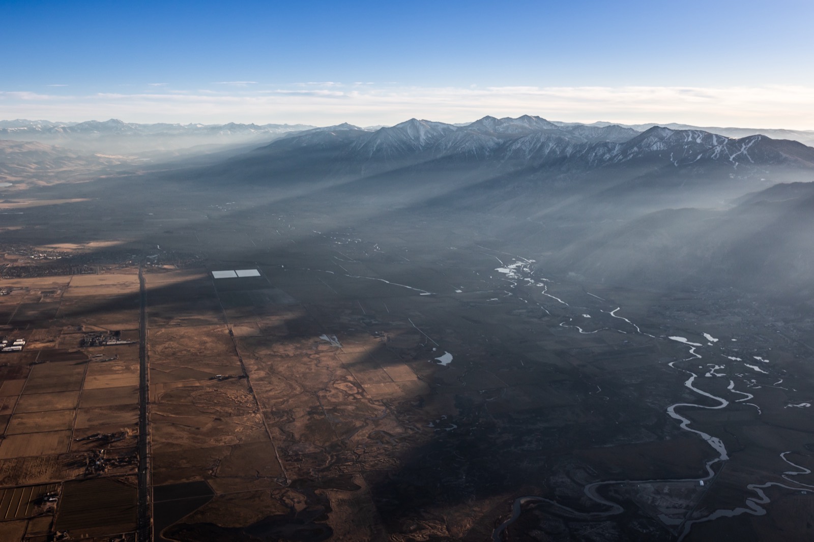
The eastern side of the Sierras is dramatic, with mountains as high as 14,000' plunging down to desert towns like Bishop and Mammoth Lakes. One of my passengers took these photos as we flew from Phoenix to Truckee.